

Penticton city centre brings downtown together with public spaces along the Okanagan Lake waterfront. The city’s map identifies places such as Okanagan Beach, Gyro Park and the SS Sicamous in this central area, about a 16-minute walk from a motel in Penticton.
- Setting: Penticton sits between Okanagan Lake to the north and Skaha Lake to the south.
- Central landmarks: The city map marks parks, the Kiwanis Walking Pier and the SS Sicamous around downtown and the waterfront.
- Longer route: The Lake to Lake Route runs through the city centre and is approximately 6 km long.
- Getting around: City bus service is provided by BC Transit; the City also identifies multi-use paths and trails.
How do you get your bearings in Penticton city centre?
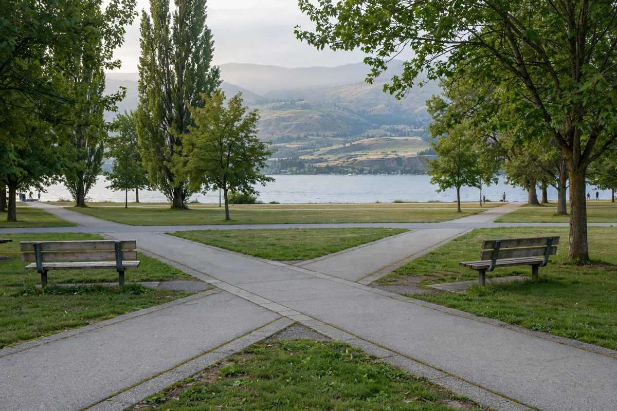
Penticton city centre is easiest to picture as a downtown and waterfront area between the city’s two lakes. Okanagan Lake lies to the north of Penticton, while Skaha Lake lies to the south.
The City of Penticton’s map places Downtown alongside central waterfront destinations including Okanagan Beach, Gyro Park, Veterans Park, Rotary Park, Marina Way Park, the Kiwanis Walking Pier and the SS Sicamous. Use those names to orient your plans: the map groups them within the central downtown and waterfront area.
The map legend also identifies practical features such as footpath access, viewpoints, swimming areas, a playground, dog areas and a visitor centre. It marks bike lanes, multi-use paths and trails, paved roads and unpaved cycling routes.
The City says many trails and paths—including the promenades along both lakes and the KVR Trail—are multi-use routes for people walking, riding or rolling.
How can you walk to the centre?
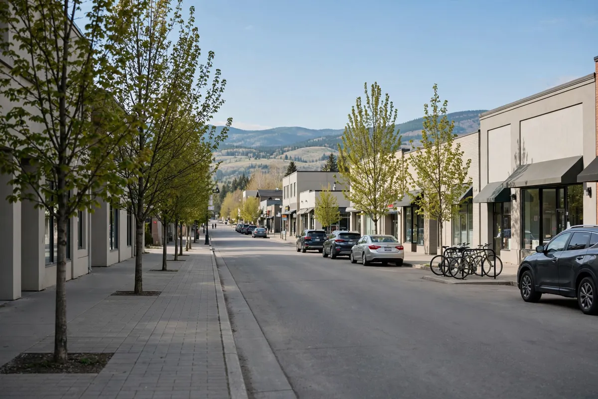
The City’s map shows the centre as part of a larger area that includes downtown streets and the Okanagan Lake waterfront, but it does not establish a turn-by-turn walking route.
For a longer walk that crosses the city, the Lake to Lake Route runs from Okanagan Lake to Skaha Lake through the centre and is approximately 6 km long. The City describes many paths along the lakes and elsewhere as multi-use, so the route network can suit walking, riding or rolling.
If you’re planning to cover more ground, the City says you can float the 7 km Channel between Okanagan Lake and Skaha Lake. For other local transport options and route planning, see how to get around Penticton from Black Sea Motel.
Which waterfront landmarks can you combine with downtown?
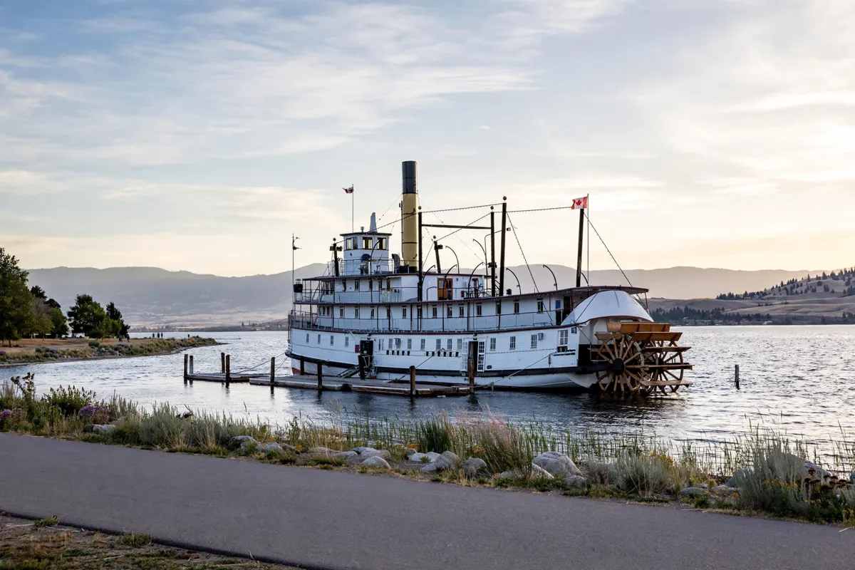
Downtown parks and Okanagan Lake waterfront landmarks form part of the same central area on the City of Penticton map. Okanagan Beach, Gyro Park, Veterans Park, Rotary Park, Marina Way Park, the Kiwanis Walking Pier and the SS Sicamous are all identified there.
The map legend points to several kinds of places and access around the area, including a boat ramp, channel access, swimming, a viewpoint and a waterpark. These labels can help you choose a waterfront stop that fits the kind of outing you have in mind.
The SS Sicamous is one of the named waterfront landmarks. For details on visiting the vessel, including its hours and tickets, consult answers to common questions about visiting the SS Sicamous.
What should you know about transit, parking and planning?
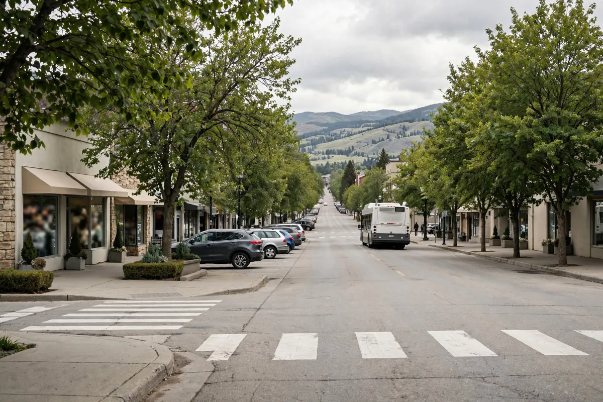
BC Transit provides local bus service in Penticton, and buses operate seven days a week except Christmas Day. Sunday and statutory-holiday service is limited to routes #5 and #16. The City says accessible low-floor buses are fully accessible; all accessible buses except the Naramata bus have racks that carry up to two bicycles.
The City of Penticton gives the downtown on-street and metered parking rate as $2 per hour, with paid parking Monday to Saturday from 9 a.m. to 6 p.m., except statutory holidays.
Three downtown pay-station lots are east of Main Street, in the 200, 300 and 400 blocks; the same hourly rate and paid hours apply. Free 10-minute curbside pickup locations are available downtown. Check the City of Penticton’s official site before you go, as parking details can change.
The Penticton Visitor Centre & Gift Shop is at 120-888 Westminster Avenue West, Penticton, B.C., V2A 8S2. The City directs visitors to Visit Penticton for current hours. The Penticton Farmers’ Market is in the 100 block of Main Street on Saturday mornings from May to October.
FAQs
Which lakes are beside Penticton?
Penticton is situated between Okanagan Lake to the north and Skaha Lake to the south.
How long is the Lake to Lake Route?
The route is approximately 6 km long and runs through the centre of the city from Okanagan Lake to Skaha Lake.
Does Penticton have local bus service?
Yes. BC Transit provides local service, with Sunday and statutory-holiday service limited to routes #5 and #16.
When does the Penticton Farmers’ Market take place?
The market is in the 100 block of Main Street on Saturday mornings from May to October.